Land Use
For a sake of clarity, the difference between land cover and land use can be described in a following manner. Land cover refers to the surface cover on the ground, whether vegetation, urban infrastructure, water, bare soil or alike. Put in another way, it is the observed (bio)physical cover on the Earth's surface. Identifying, delineating and mapping land cover is important for global monitoring studies, resource management, and planning activities.
On the other hand, land use is characterized by the arrangements, activities and inputs people undertake in a certain land cover type to produce, change or maintain it, for example land uses of recreation, wildlife habitat, or agriculture. Land use classification facilitates the monitoring and predicting of urban development patterns, management of water and other natural resources, as well as land-use planning and regulation.
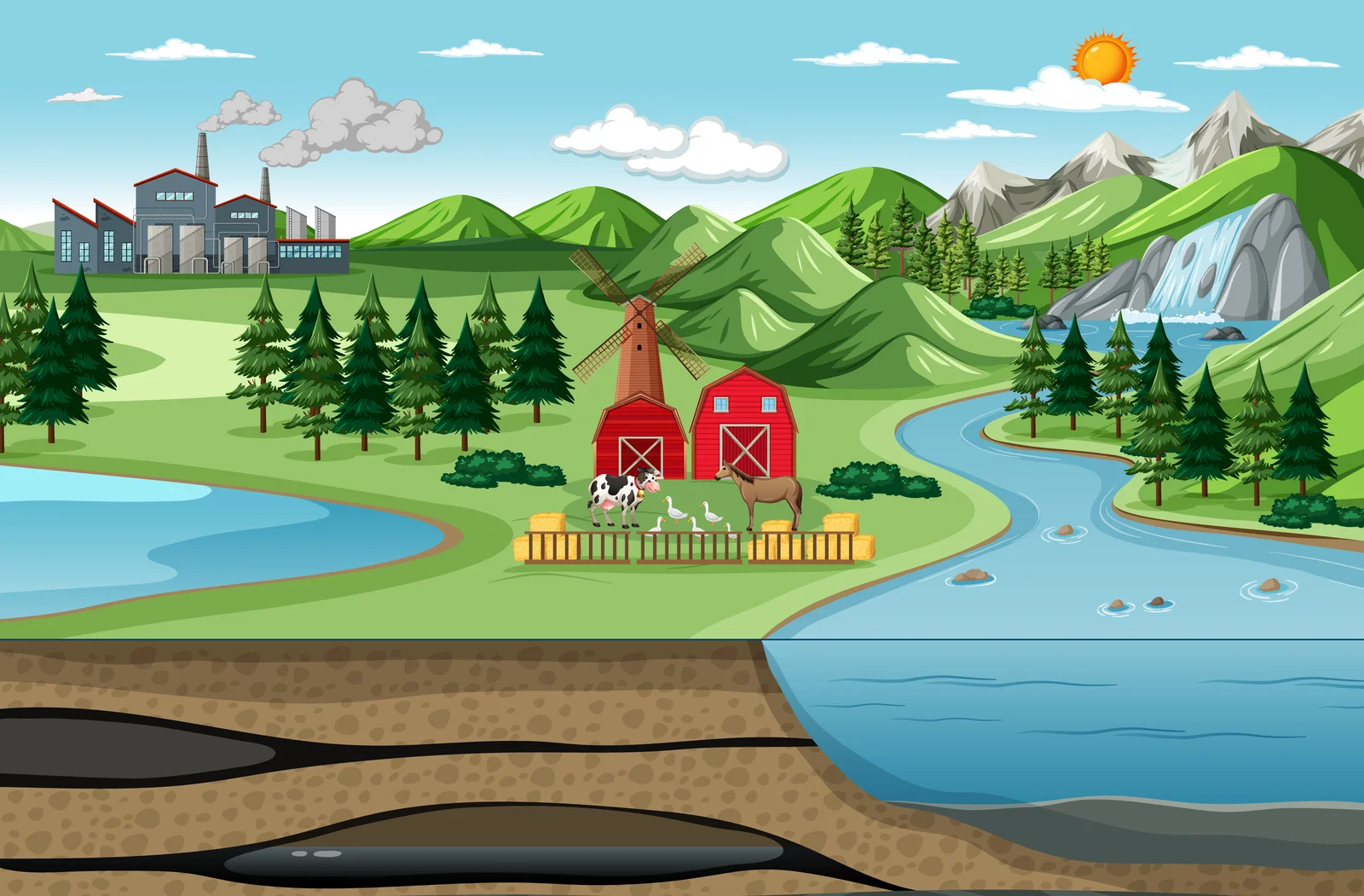
Giving an illustrative example, "grassland" is a cover term, while "rangeland" or "tennis court" refer to the use of a grass cover. The other way around, a "recreation area" is a land use term that may be applicable to different land cover types: for instance sandy surfaces, like a beach; a built-up area like a pleasure park; woodlands and so on.
References:
- https://www.nrcan.gc.ca
-
J.A. LaGro, LAND-USE CLASSIFICATION, Editor(s): Daniel Hillel, Encyclopedia of Soils in the Environment,Elsevier, 2005, Pages 321-328, ISBN 9780123485304
https://doi.org/10.1016/B0-12-348530-4/00530-0 - http://www.fao.org/3/y7220e/y7220e06.htm
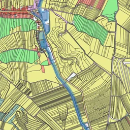
Open Land Use
Open Land Use Map is a composite map that is intended to create detailed land-use maps of various regions based on certain pan-European datasets such as CORINE Landcover, UrbanAtlas enriched by available regional data.
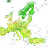
Land Cover
The CORINE Land Cover (CLC) inventory was initiated in 1985 (reference year 1990). Updates have been produced in 2000, 2006, 2012, and 2018. It consists of an inventory of land cover in 44 classes. CLC uses a Minimum Mapping Unit (MMU) of 25 hectares (ha) for areal phenomena and a minimum width of 100 m for linear phenomena.